


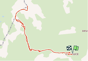


8.2 km | 13.3 km-effort


User


FREE GPS app for hiking
 SityTrail
IGN / Geographical institutes
SityTrail World
The world is yours!
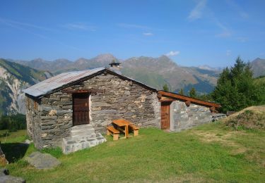
Trail Walking of 13.3 km to be discovered at Auvergne-Rhône-Alpes, Savoy, Les Belleville. This trail is proposed by tracegps.
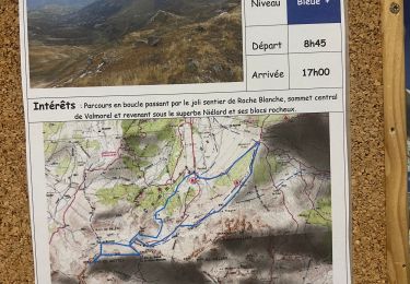
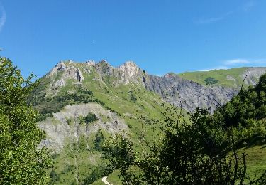
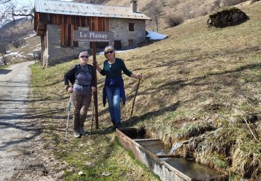
Le parcours se déroule au début sur une piste forestière jusqu'au chalet de la Platière. Ensuite, le sentier n'est pas ou peu tracé jusqu'au Col du Cheval Noir. Il serpente à travers les pentes jusqu'à des lacs. La montée finale depuis le col est très raide. Mais si, avec un peu de courage, vous arriverez en haut, d'où vous aurez une vue très dégagée sur tout ce qui vous entoure, le Grand Pic de la Lauzière au nord-ouest, le massif du Beaufortain, la Vanoise, et au loin vers le sud, le massif des Ecrins, sans oublier juste devant le massif de Belledonne.

Walking
Walking
Walking
Walking
Walking
Walking

Walking
Walking
Walking